


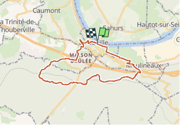

11 km | 12.2 km-effort

User


FREE GPS app for hiking
 SityTrail
IGN / Geographical institutes
SityTrail World
The world is yours!
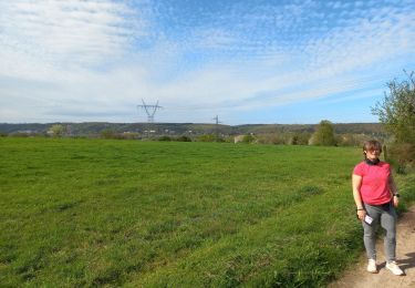
Trail Walking of 14.9 km to be discovered at Normandy, Seine-Maritime, La Bouille. This trail is proposed by MichelRando7656.
Côte difficile Albert Lambert au démarrage . Nombreuses petites routes-
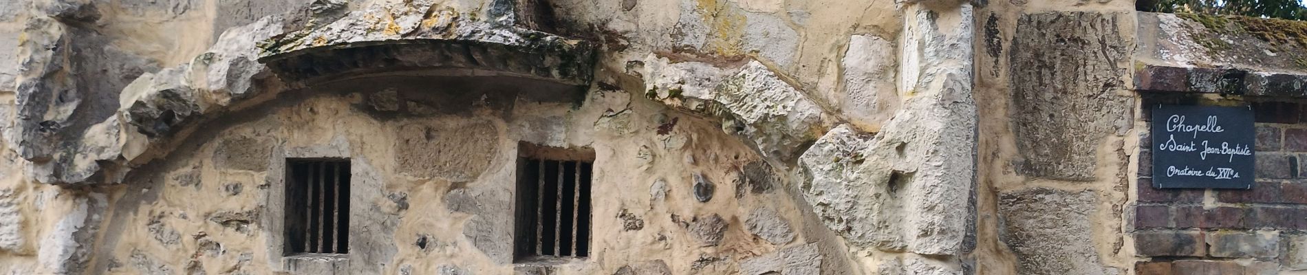
Passage au château Robert le Diable et retour par les marais.


Walking
Walking
Walking

Walking

On foot
Walking

Walking

Walking

Walking